A new high-tech map of Antarctica is so intricate that it is now the most detailed map we currently have of any continent on the planet.
When you see photos and footage of far away or exotic places, it can sometimes be difficult to fathom that those destinations are even real, let alone on the same planet as you currently stand on. When watching footage of documentaries that explore the Amazon rainforests or the deepest parts of the ocean floor, it looks like something out of a science fiction movie.
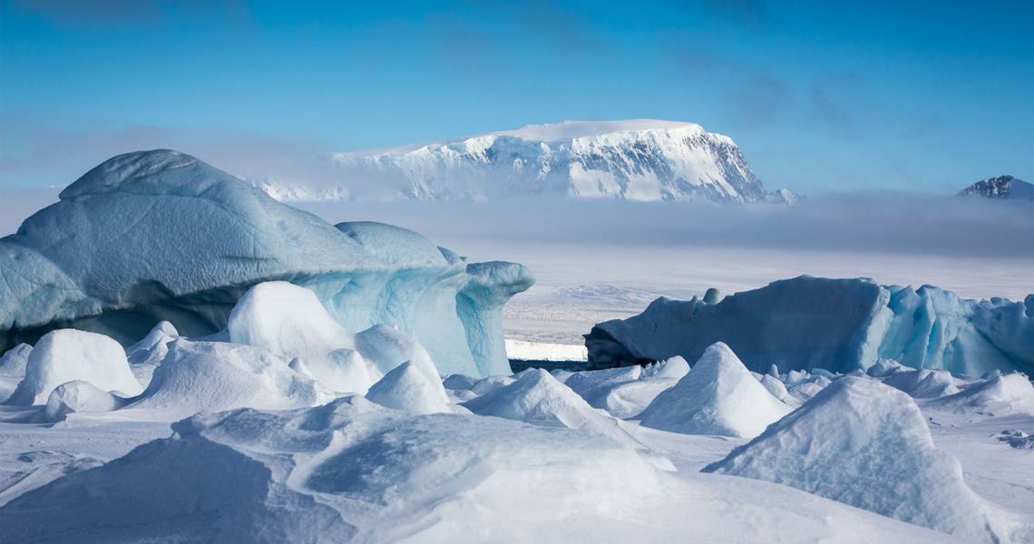
Another part of the planet that falls into that category is a place the majority of us will never have the chance to visit, Antarctica. An entire continent covered in ice and snow, and one that has around 1,000 people on it at any one time, and that's only during the milder times of the year. Even those who have been there don't know vast amounts about its terrain.
RELATED: FARMER'S ALMANAC PREDICTION FOR WINTER 2018-19: LONG & COLD, NOT SHORT & MILD
That is all about to change. Researchers from the University of Minnesota and Ohio State University have managed to create a map of Antarctica that is so detailed, you would be able to spot a parked car on an ice shelf. The extremely intricate map of the South Pole is not only the best of the continent in question ever created, but it is the most detailed map of any continent currently in existence according to Futurism.

Ian Howat, one of the researchers who helped create the map, revealed in the University of Minnesota's website that prior to its creation, there were maps of Mars that were more detailed than any of Antarctica's. In order to create the masterpiece, Howat and the other researchers gathered millions of images taken of the South Pole by satellites over an eight-year period. They then used a supercomputer to combine the 150 TB of data collected into the map.
Aside from the map being extremely cool (pardon the pun) it also has a couple of practical uses. Researchers exploring Antarctica will now be able to use it in order to plot the quickest and safest routes between research stations. The plan at the moment is also to update the map at least once a year in order to keep checks on ice melting and geographical changes. If you want to check it out for yourself, you can do by clicking here.
NEXT: SAN FRANCISCO'S MOST EXPENSIVE AIRBNB TO BE TURNED INTO A HOTEL